
There are a lot of definitive achievements in the blockchain

There are a lot of definitive achievements in the blockchain space that are occurring on a daily basis. Each and every improvement in the field that we see are being more and more complex indirectly helping the process to become more and easier. There are a lot of companies that are trying to invest half of their earnings into the development of various tools in the field. These tools directly are soliciting the improvement in the way the data is used for crypto-based transfer and database.
Something new and interesting :
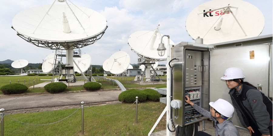
There are a lot of different ways and methodologies through which you can make changes, out of which the most significant one would be the way the data is being captured.Recently, Hypervine collaborated with the European Space Agency to develop satellite-based data to facilitate the mining industry.
The mining industry is always on the development scale to maximize their operations into tapping the Earth’s untapped potential. They face a lot of difficulties out of which identifying the exact places to carry out mining is a huge task. There are a lot of other similar bottlenecks that would make it even more challenging and risky as well.
How does it work?
The satellite-based data will now clearly help the mining industry to make sure that they make the calculations right when it comes to starting the mining process. There are a lot of developmental strides that the mining industry could help with this kind of data in the picture.
With such data into existence, the miners can plan the exact spot of penetration and based on the availability of the resources they can manage the exploration teams as well. The startup which is based in the UK is trying to achieve something solid by combining their satellite data and combine them together for constructional and mining purposes. There are also a lot of side goals that the company is planning to establish that will definitely benefit the operations of the mining industries.
With this data on the live stream, the chances of error occurrence are not possible and the minute of the minute changes can never affect the bigger part of the plan.
The data that the company would collect and integrate into their software is a great way of telling that they can give in-depth details to the industry with regard to the topography, exact land conditions and soil conditions and so on.
The company claims that its main aim is to reduce disastrous calamities that happen due to misleading data.